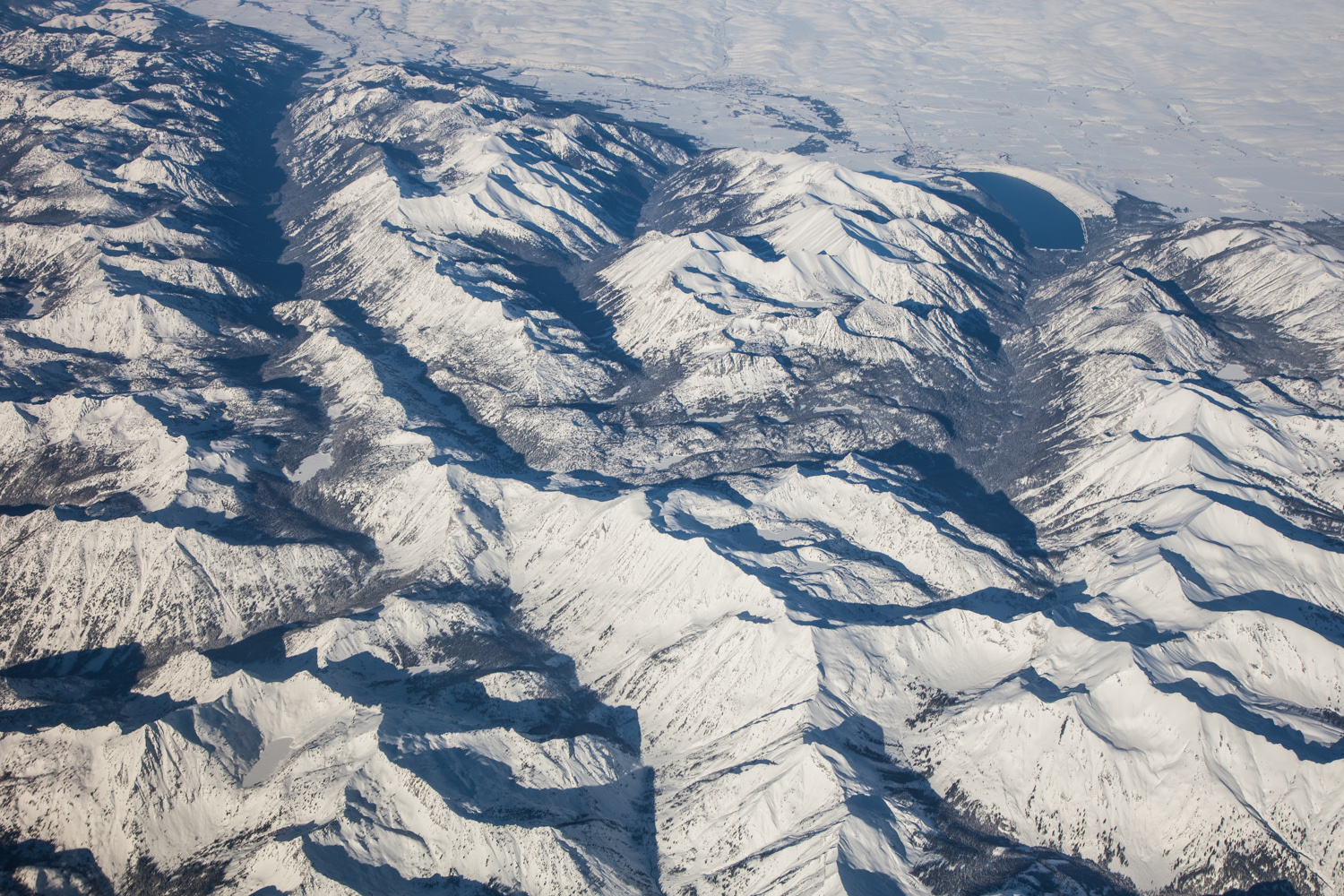
From an elevation of about 30,000 feet, you can easily see the large glacial valleys that drain northwards off the high crest of the Wallowa Mountains. Wallowa Lake, on the upper right of this photo, is dammed by a glacial moraine deposited at the mouth of one of these valleys.
One cause of the uplift of the Wallowas is the fault zone along their northern margin, which you can see here as the abrupt northern edge of the mountains. The linear nature of the range front attests to fairly recent uplift along the fault.
And what a great start to 2015! I shot this photo on January 1 enroute from Chicago to Portland. Click here to see more aerial geology photos from Yellowstone to Portland from the same flight.
|
Onto the next photo: Slaty turbidites at Chilkat State Park, Alaska
Back to the last photo: Graded beds in turbidites, SE Alaska.
Back to Ten favorite geology photos from 2015