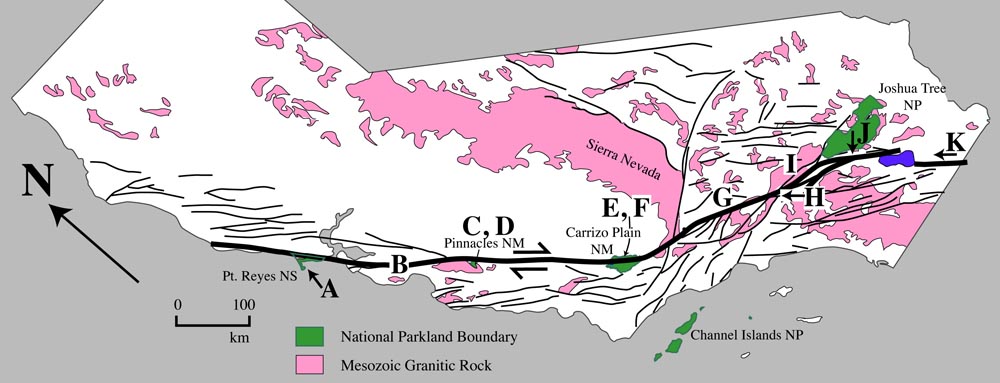
E. View over San Andreas fault zone to Carrizo Plain National Monument and Soda Lake.
|
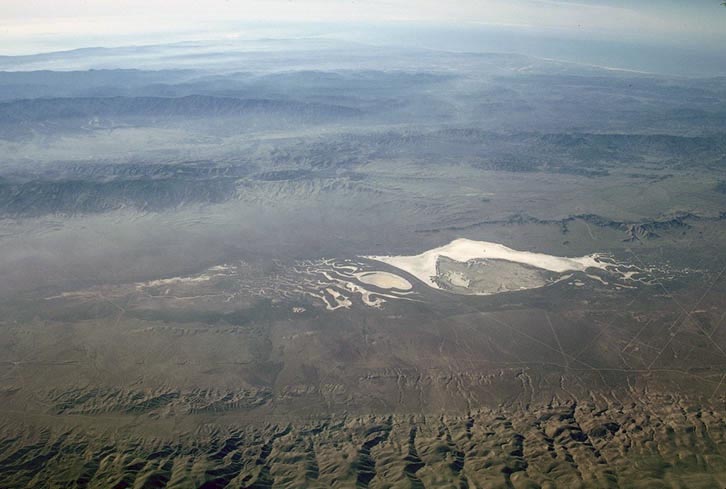 |
Photo E. View southwestward over the Temblor Range and San Andreas fault to Soda Lake in the Carrizo Plain. The San Andreas fault coincides with the front of a low range of hills just past the edge of the larger hills in the foreground.
Back to San Andreas fault photos
Back to Geology Images
Back to home page